Fort Ransom Pictures
Harris Ford and the Old Fort Trail
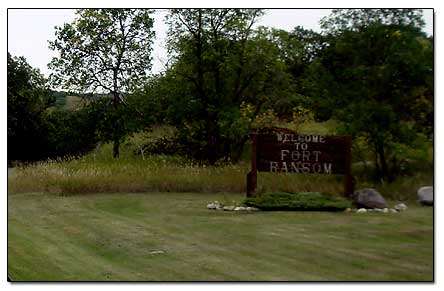
Traveling south on the Sheyenne Scenic Byway from Kathryn ND, we came to Fort Ransom. The sign for Fort Ransom State Park is the first thing we saw, but we did not pull in. Then we came to the Welcome to Fort Ransom sign.
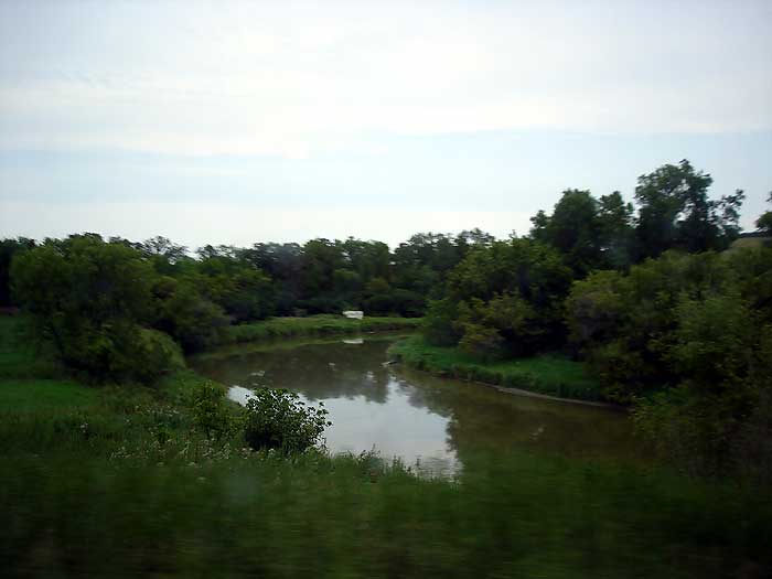
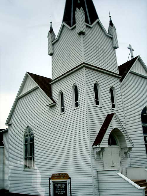
Fort Ransom seems to be nestled in a valley along the Sheyenne River. We came to an intersection with a sign for Standing Rock Lutheran Church and turned. Then we saw the museum, the old school, and the Lutheran church. Here's the sign for the Lutheran Church.
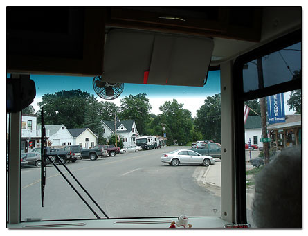
We were able to turn around and head east, and this is where we found the little tourist shops, restaurants, and a gas station. But once we got past Fort Ransom the road turned into a gravel road. So it was not too good traveling.
Then we passed a Viking statue on a hill, but we could not get close to take a picture of it. Here is a close-up of the Viking on the hill.
More pictures in the Fort Ransom area
-a picture of the Ransom County Historical Museum... Ransom County Historical Museum
-right next to the museum is the old school...
Fort Ransom school
-a shop called Stoneless Treasures in in the Sheyenne Hall... Stoneless Treasures
-there is also an upholstery shop on 2nd St.... upholstery shop
-view of the city park with reflection... Fort
Ransom city park
-another picture of the State Park sign as we approach...
state park entrance sign
-a building on the outskirts of Fort Ransom... building
-America's Byways sign... America's
Byways sign
-an old wagon on display with flowers, it says "Olsen"...
Olsen wagon
-cows walking as we leave the area... cows walking
-around the turn in the road we came to some sheep... sheep in field... the sheep dogs made the sheep
move
Harris Ford and the Old Fort Trail
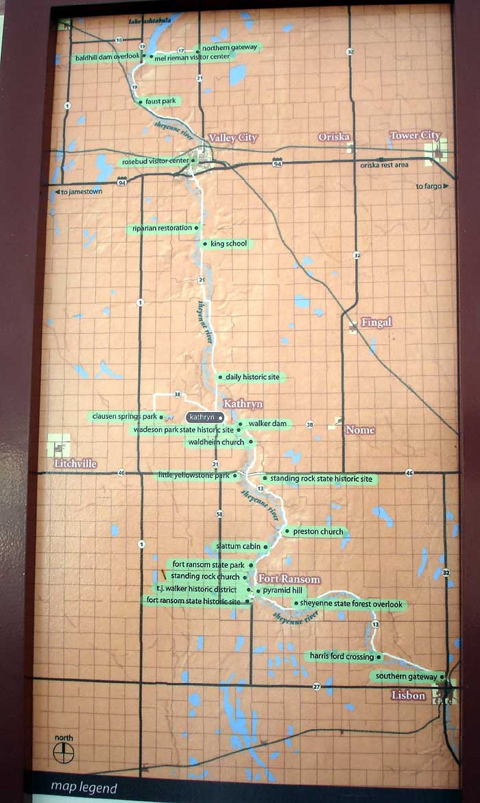
Then we came to the Harris Ford and Old Fort Trail and stopped to take some pictures. There is an information board there that tells you the history of Harris Ford and on the other side the reason why Fort Ransom was built, and in the center, the Sheyeene River map and byway.
-We walked along the trail for awhile but it got muddy. I went to the right and got close to the river, and saw the stepping stones, and here's a view looking west
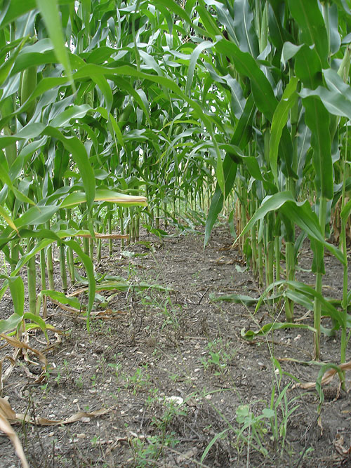
-the east trail had a cornfield next to it... road with cornfield... cornfield view
1... cornfield view 2... ear of corn
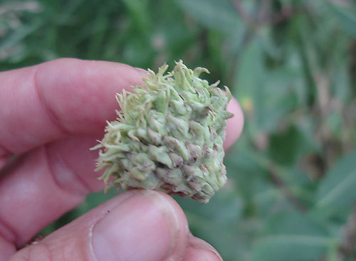
-I also noticed that the acorns look strange here... I don't know why but the acorns
are fuzzy. Here's the acorn side view
We kept traveling south, went through Lisbon, but it was raining, so I didn't get any pictures. By evening we had pulled into a small town called Havana, asked someone where the campground was, and spent the night there.
Continue traveling to Havana, ND