Roadtrip in Southern South Dakota
Highway 18 and Hwy. 44 Towns
 On this page you can read about and see pictures of the small towns along Highway 44 and Hwy. 18 all the way to Hot Springs in western SD. We decided to take a roadtrip through southern South Dakota, to see the Black Hills and then campground hop to Mount Rushmore in Keystone. It's the 3rd week of July, and it should take about 6 hours to get there.
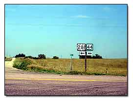
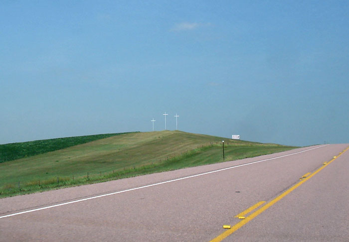
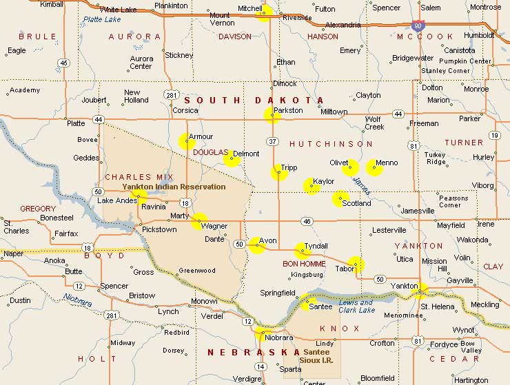
We don't have any reservations, but we packed our camping gear and a couple of gold pans in case we can do some Black Hills goldpanning. We took Highway 18 from Tripp SD west to Hwy. 281 which put us in the small town of Armour. Outside of Armour a couple of miles north on 281 are 3 crosses on a hill. After you pass them, take a left on Hwy. 44 and you'll be heading west toward Corsica.
Corsica, South Dakota
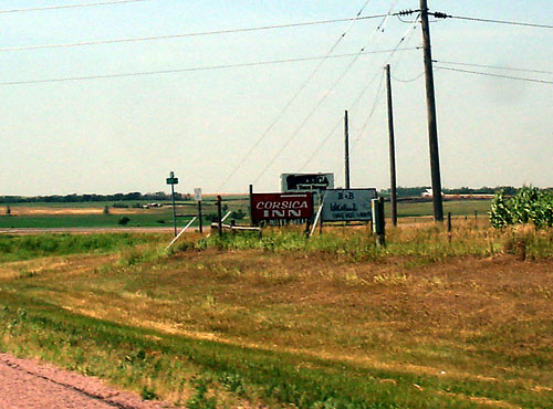
You pass a intersection where you see a sign for the town of Corsica, which is 2 miles to the north. In Corsica you can stay at the Parkway Inn, the Corsica Inn motel, or the Corsica Inn and Campground at 85 East 2nd St., phone 605-946-5230.
-Cheryl's Place... 345 E. 6th St. (605) 946-5565 .. for catering and weddings
-BH Tree Service ... 38360 SD Hwy 44... 605-946-5280 ask for Randy... Tree Cutting and Stump Removal
-The "Corsica Globe" newspaper Box 45 Corsica, SD 57328 phone 605-946-5489 fax 605-946-5179
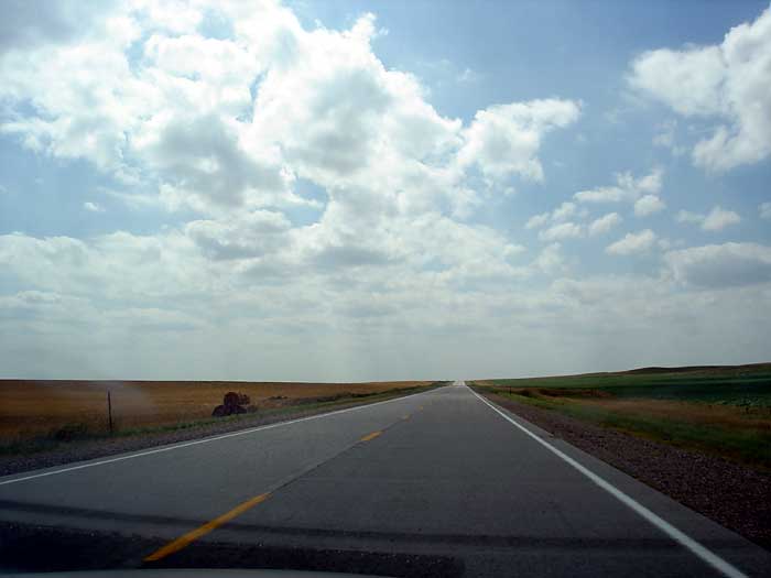
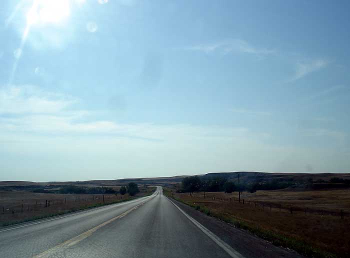
Continuing on Hwy. 44 west, it's really easy traveling, and you'll see lots of cornfields and hayfields. We passed the Dakota Christian School (243-2211) on Hwy. 44, and there is nothing around this school, no buildings, nothing. It just sits in the middle of nowhere.
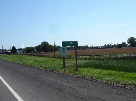
Platte, South Dakota
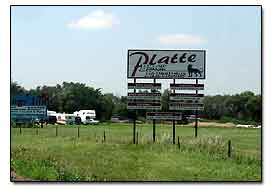 Entering into Platte, a cute little town, population 1367. See more pictures of Platte SD
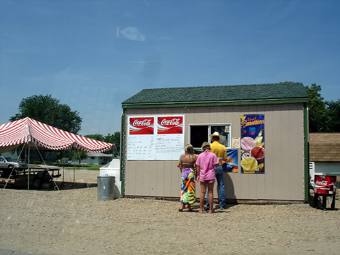
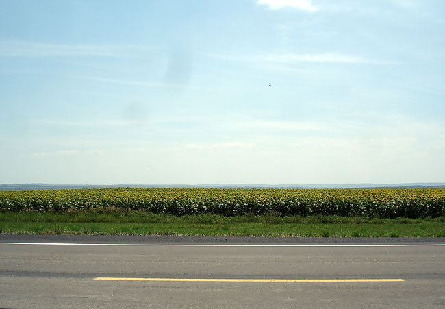
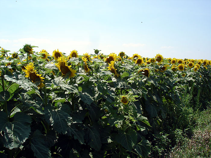
On the other side of downtown Platte we passed a roadside snack shop and then much to our delight, a huge sunflower field. Nothing but sunflowers, and it looked so cool.
The nice thing about traveling through South Dakota is, "no traffic," and you can just pull to the side of the road and take a picture if you like.
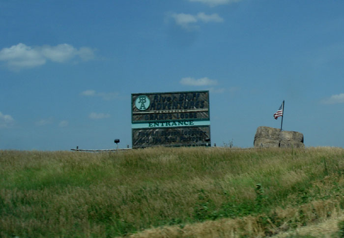
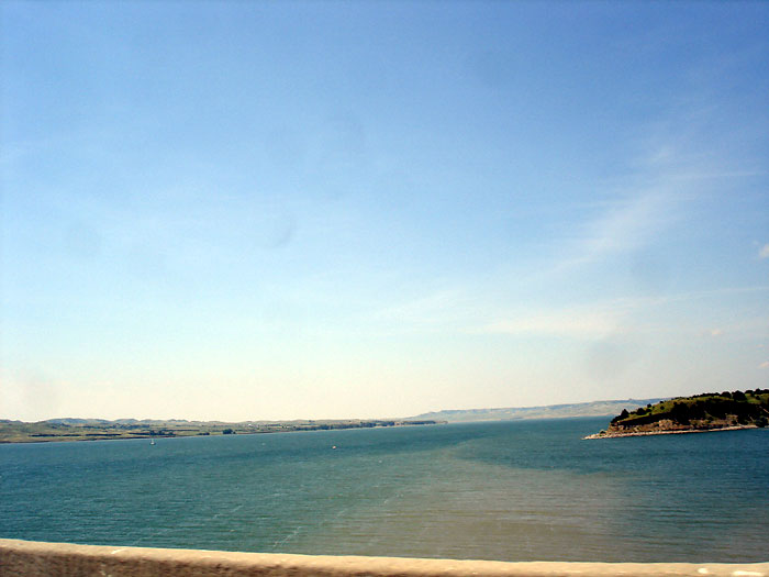
About 5 miles past the field of sunflowers, then a sign for River Bluff Adventures (Gramps Lodge), then we saw a ridge, and then came upon Francis Case Lake, and oh gosh is it gorgeous.
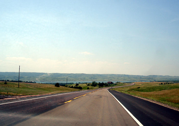
Once you cross the Francis Case bridge, it begins to get a bit more "hilly" and very "scenic." I just couldn't stop taking pictures. Hwy. 44 starts to wind through the hills. We passed a sign for the Blue Spruce Guest House and a ranch, and then the terrain starts smoothing out again.
Dixon, South Dakota
We passed Dixon without even seeing a sign for the town. Maybe because it is only 2 streets? Then we entered Tripp County. There were tractors in the fields cutting the hay, and nothing else as far as the eye could see.
Winner, SD
Jordan Junction, SD
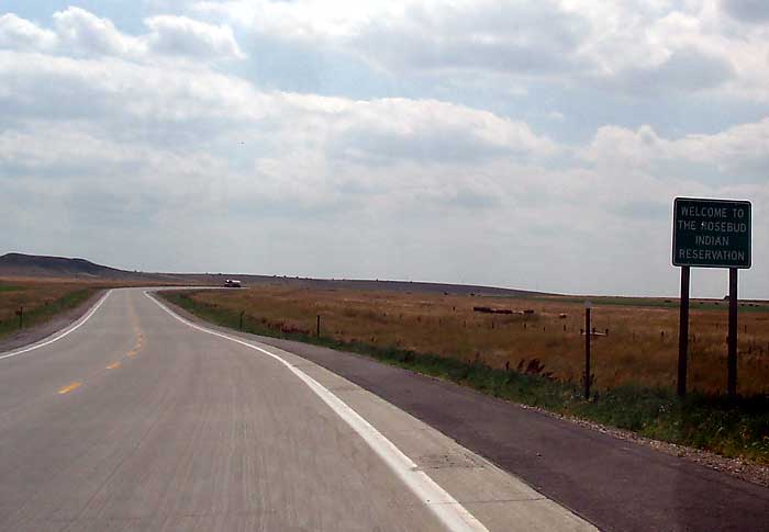
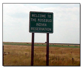
Once we arrived at Jordan Junction, (which we didn't see a town at all) we went straight on Hwy. 18 which is going to take us into the Rosebud Indian Reservation.
Carter South Dakota
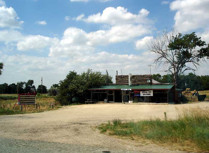
Carter is a real small town, we only saw 1 building and 2 houses. Once we passed Carter there were more golden farmfields.
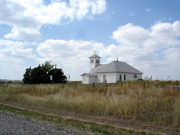
Okreek, South Dakota
Okreek wasn't even on our Streets and Trips map, there was a church and several homes here. Right now it is 4:07 pm, so we have been traveling almost 3 hours now. Most of all the fields here has rolls of hay, but we did spot some haystacks.
Antelope, S D
Didn't see Antelope, even though it was on our map
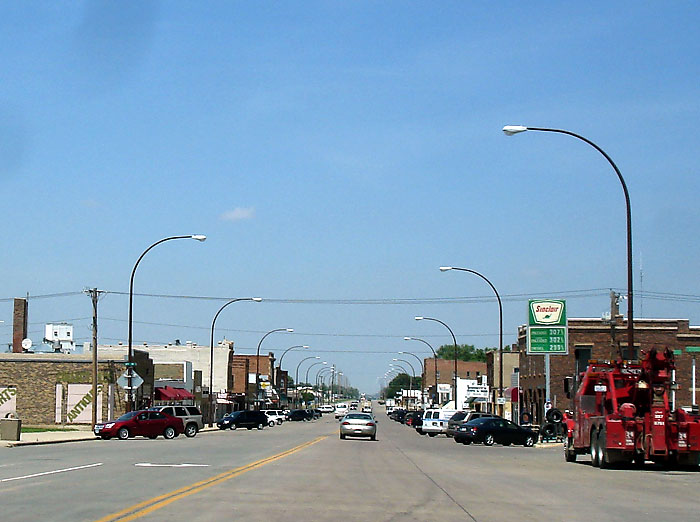
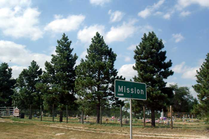
Mission, S D
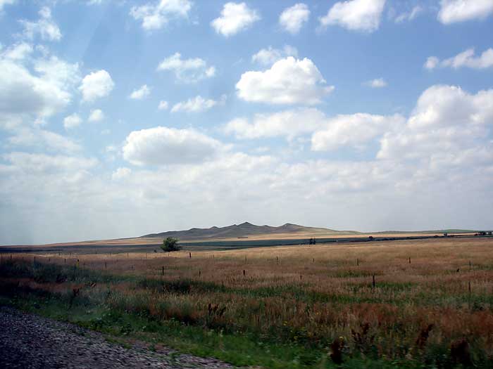
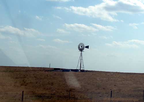
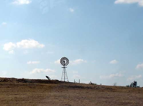
 The western part of the Rosebud reservation is spotted with pine trees and small hills. Occasionally we see windmills in the fields and at first was wondering why they would put a windmill in the middle of a field. Then we realized they were used for pumping water for the livestock.
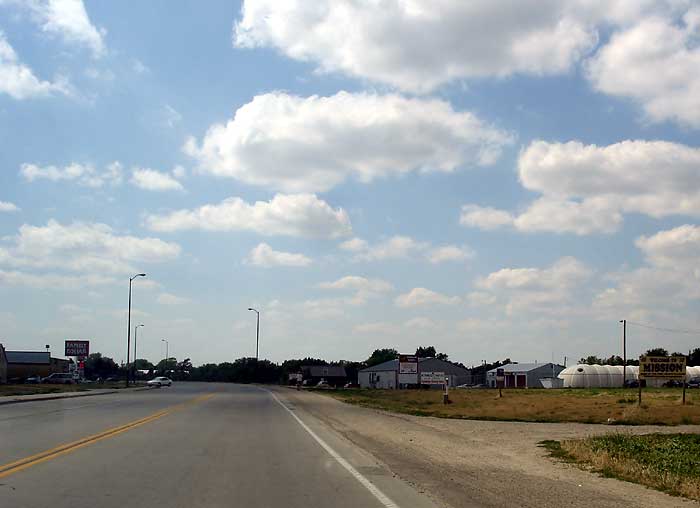
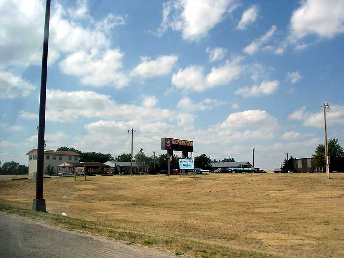
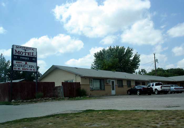
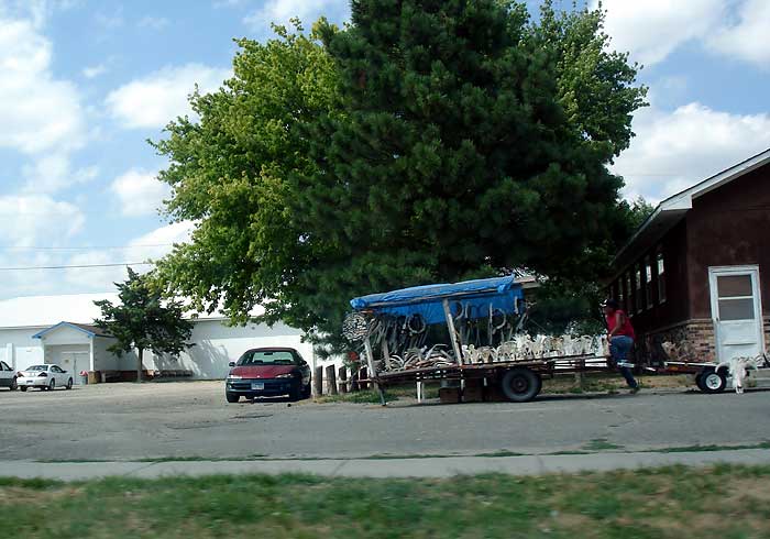
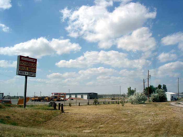
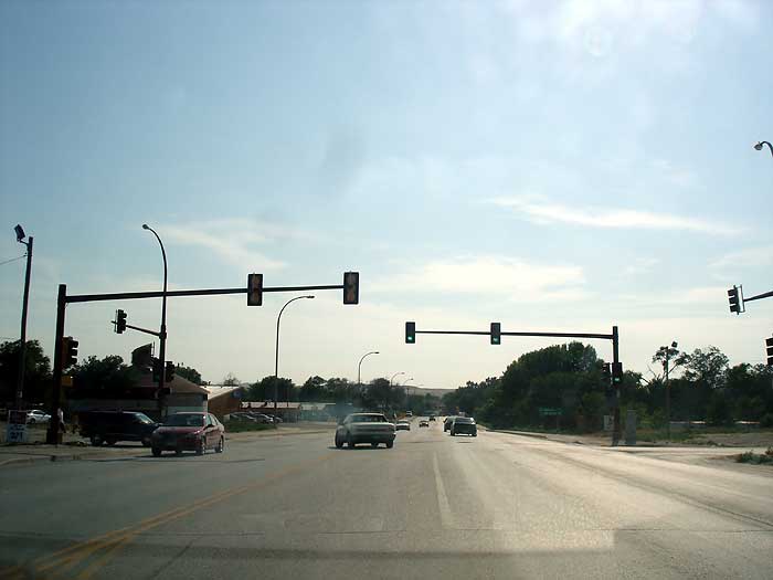
Mission South Dakota is a decent size town, here's the entrance with a Welcome to Mission sign, and Sinte Gleska University, and a view of the town of Mission heading west. Also see the Maverick Motel and a vendor on the side of the road. Sioux Indians Arts and Crafts
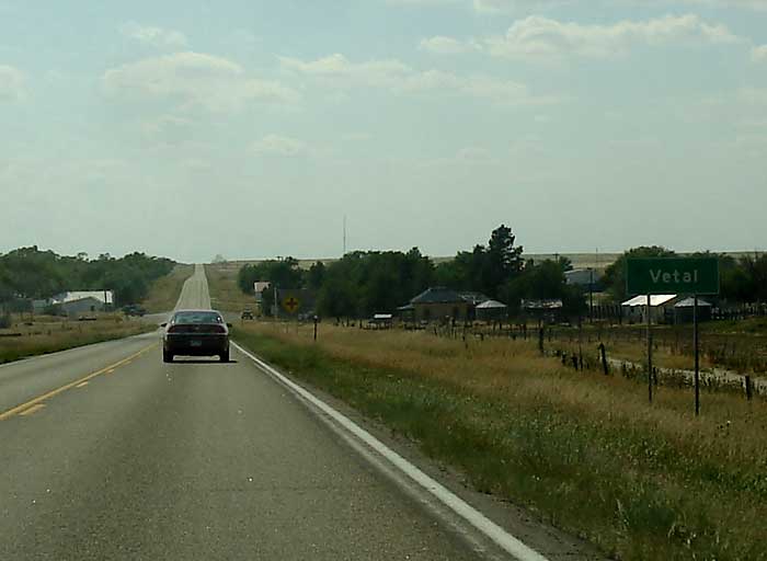
Vetal, SD
Entering Vetal, SD... a farm in Vetal...
Harrington, SD
Didn't see, even though it was on our map
Tuthill, SD
Didn't see, even though it was on our map
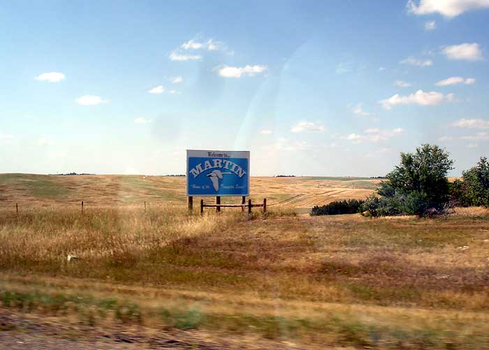
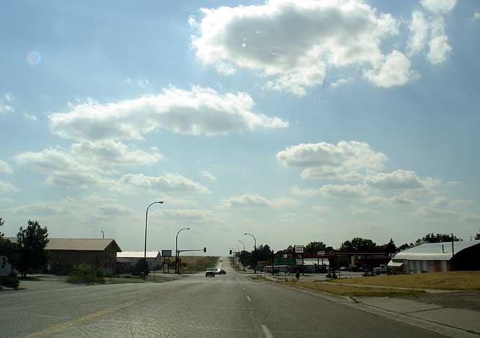
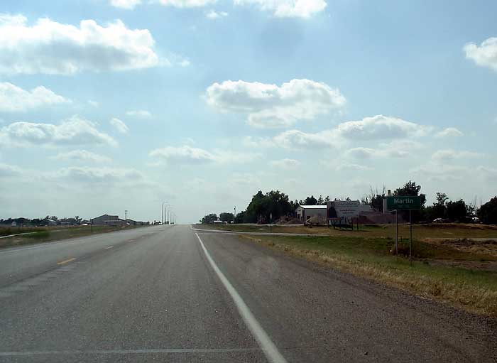
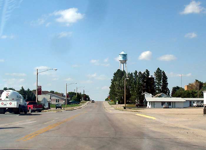
Martin, South Dakota
Martin is a small town with livestock auctions, farm equipment, and a couple motels.
Here's a view coming into town.
Here is the Martin Water Tower, here's another bigger one
Svett, South Dakota
Svett is a real small town, only 2 buildings. One was a tavern and the other was empty
Batesland, South Dakota
Batesland has a population of 88. The grocery store looks like it is the most important place in town. Once we passed Batesland the terrain really got flat. No hills, just a speckling of trees, lots of grass and farmfields.
Denby, SD
Didn't see anything, even though it was on our map
Pine Ridge, SD
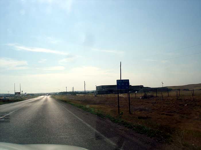
In Pine Ridge we stopped and got some gas at a Shell Station, then started heading north on Hwy. 18. We saw several jagged hills that looked like they belonged in the badlands, and the rest of the way to Oelrichs was kind of interesting yet boring, just nothing for miles. SuAnne Big Crowe Boys and Girls Club. The Pine Ridge water tower. The main street in Pine Ridge
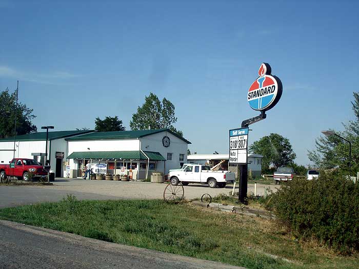
Oelrichs
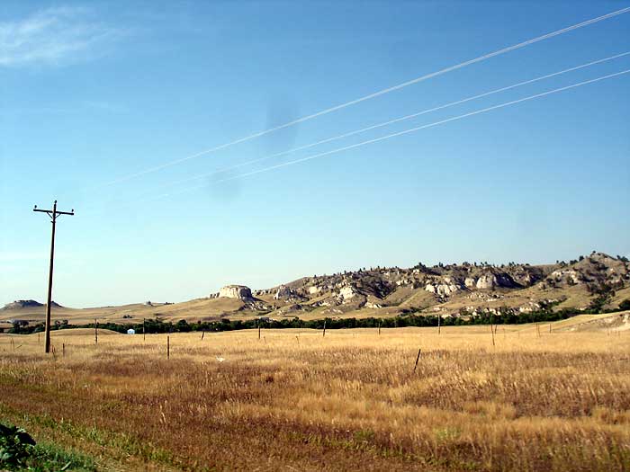
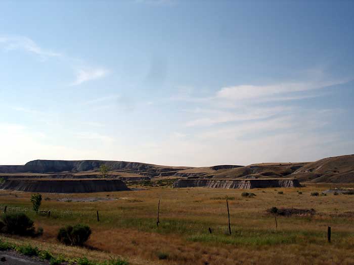
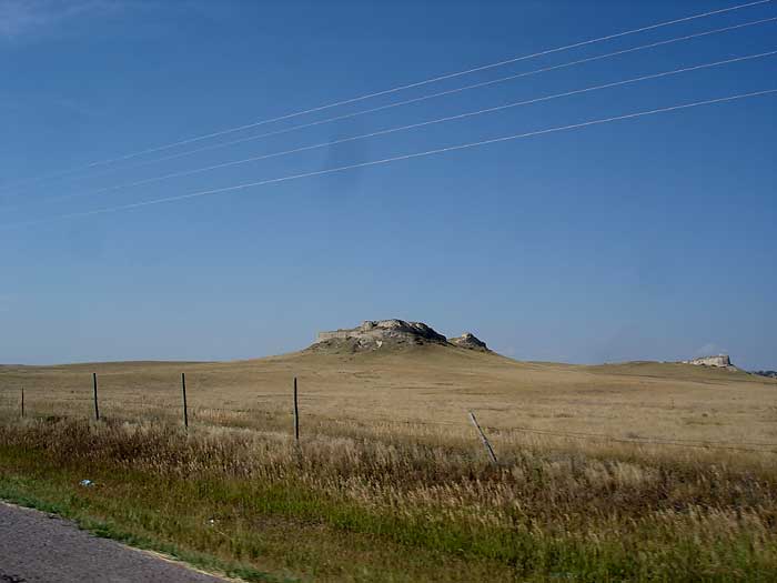
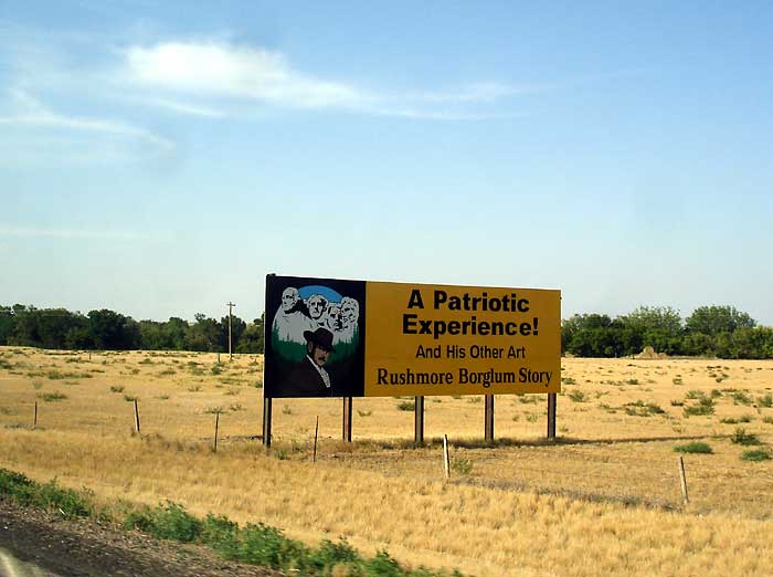
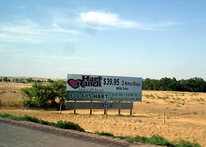
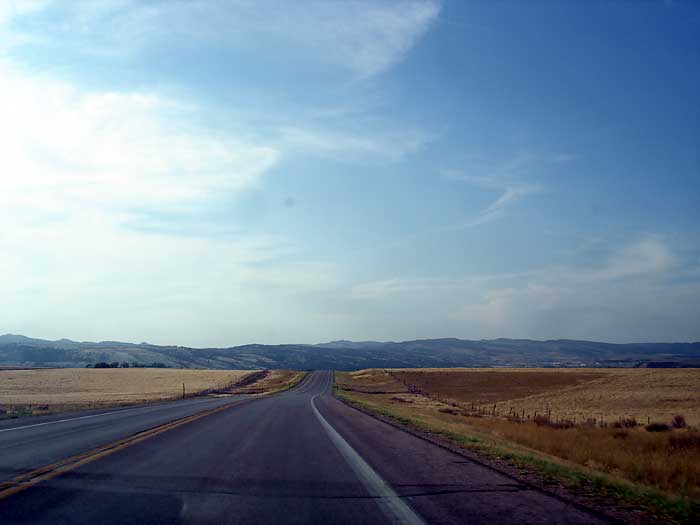
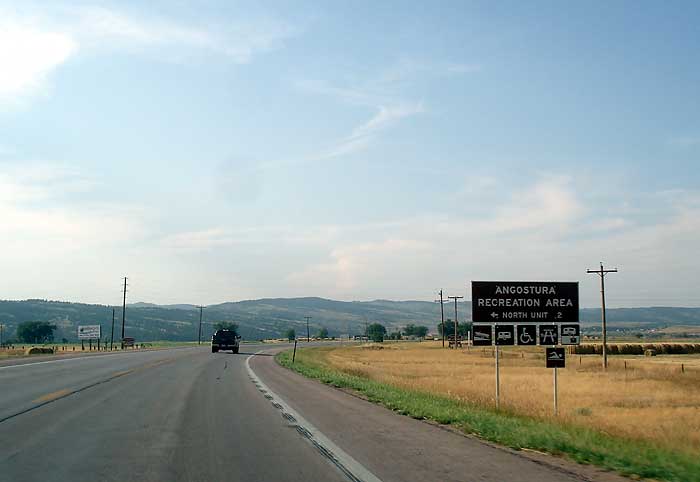
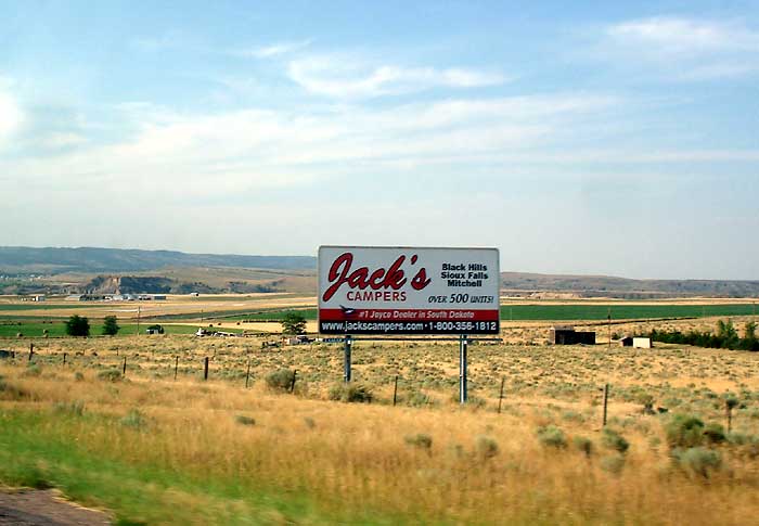
Oelrichs was one building, an Amoco Gas Station, we made a right onto Hwy. 385 and saw our first two billboards, one was for visit Mt Rushmore and the other was for Hart Ranch. We could see that way off in the distance was a ridge of mountains. It's 7:00 pm now, so we have been traveling almost 5 1/2 hours. Little did we realize till later that we had entered Mountain Standard Time. Also see the Angostura Recreation Area sign, and Jack's Campers.
Continue traveling into Hot Springs SD...