Olivet, South Dakota
Pictures and information
Olivet is a small town about 12 miles east of Tripp SD. The population of Olivet is about 70. The court house located in Olivet, is where all the legal stuff gets taken care of for the local area, and you can change your car and vehicle registration here.

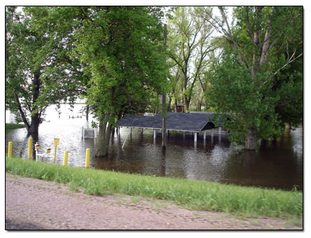
East of Olivet, a couple of blocks, is the James River. When we moved to Tripp SD in June, the James River was flooded. Local residents call this river "the Jim."

There are signs there that say it is the city park, and three shelters with picnic tables.
Recently, we returned to the James River because there is are two geocaches hid there. (Here's the first geocache and here's the second geocache.)
The picnic area was not flooded, and there was a camper there camping. Here's the camping sign for $5.00 camping, and a sign for Remote Camping. The only restroom there is an outhouse on the other side of a cute little stone bridge.
If you follow a path west after you cross the little bridge, you will see the biggest tree you've ever seen!
More Pictures of Olivet, SD
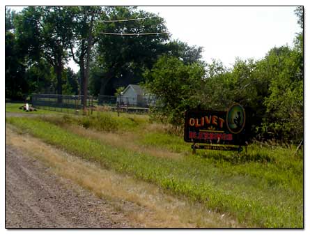
-A view entering the town of Olivet... view entering town
-A side street in Olivet (not many of these!)... side street
-Another picture of the James River flooded... flooded James River
-The river has been known to come over the road at times...
flooded river view
-A view of the camping area not flooded... camping area
-The James River bridge on Hwy 18... James River bridge... looking south
-Welcome to Riverside Park, built in 1968... welcome to Riverside Park
Hutterite The Old Elm Spring Colony
I moved the information about the Hutterite The Old Elm Spring Colony to the Parkston SD page, after I found out this colony is considered a part of Parkston. But it's easier for us to drive to it from Olivet.