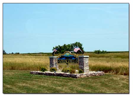
Welcome to Springfield, SD
Pictures and Information
Springfield South Dakota is a small town near the border of Nebraska. According to their sign, population 748. If you are following highway 37 south then you will run right into it. You can't miss their big blue water tower.
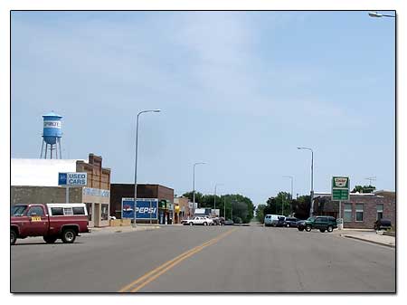
As we were driving through this small little town, I took some pictures of some of the businesses surrounding the Main Street.
More Pictures of Springfield
-Casey's General Store and gas station... Casey's General Store
-Another picture of Springfield's big blue water tower...
big blue water tower... a smaller tower
-A-n-G's Drive In is right next to the water tower... A-n-G's Drive In
-Springhill elementary school... Springhill Schools
-A sign for the Springfield Recreation area, Campground, Boat Ramp and Golf Course... sign for the Springfield Recreation
-The Wagon Wheel Inn Motel and Apartments...
Wagon Wheel Inn... see highway sign
-Evelyn Lanc Library-Community Service Center building...
Evelyn Lanc Library-Community Service Center building
-Ritchie's Body Shop... Ritchie's Body Shop
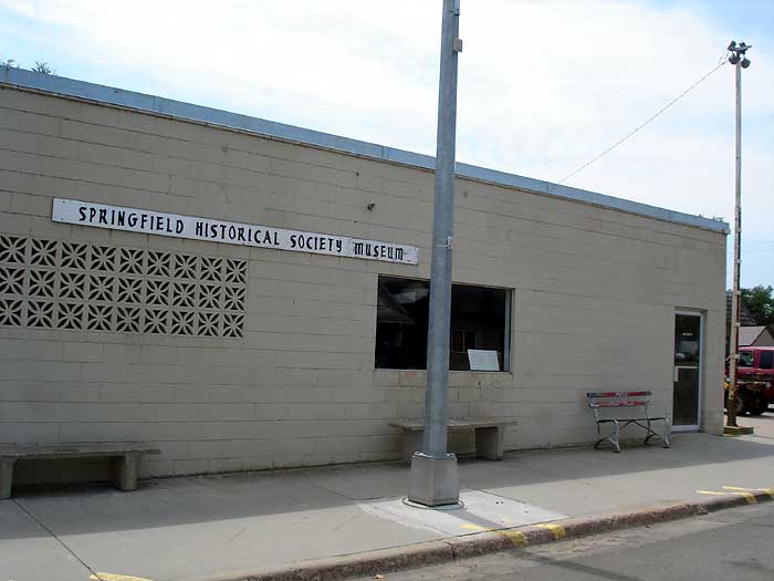
-Springfield Historical Society Museum... Springfield Historical Society Museum
-8th Street and Chestnut... corner of 8th Street and Chestnut
-Hamm's Norm's Bar... Hamm's Norm's Bar
-Springfield Post Office 57062... Springfield Post Office
-Springfield Hardware and Variety Store... Hank's Hardware
-Grocery Store in Springfield... Doug's Food Center
Scenic Overlook Near Springfield, Hwy 37 South
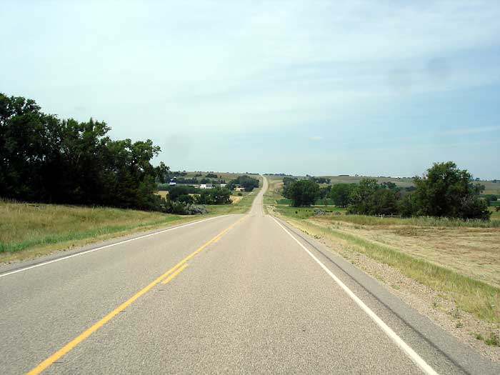
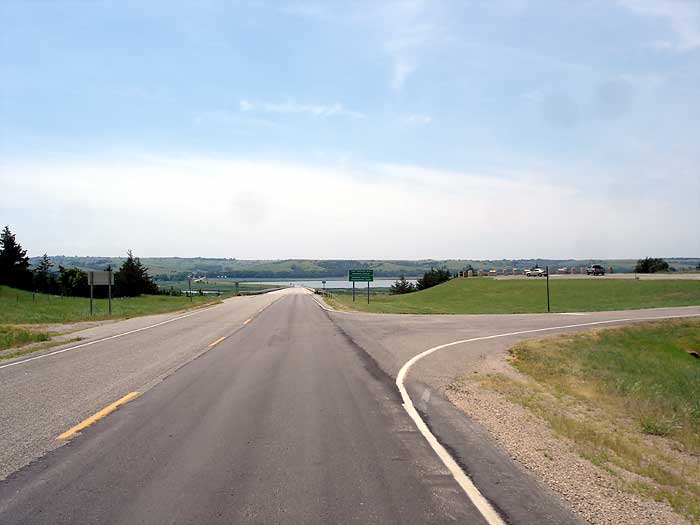
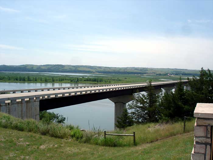
If you keep traveling south on Highway 37, you will come to the Missouri River. There is a scenic overlook here with parking area. Stop and take a look. Once you are over the Missouri River bridge you will be in Northern Nebraska.
-A farm on highway 37 south... farm...
hayrolls on side of highway...
modern haystack
-A cemetery near Springfield on Hwy 37 south... Emanuel Cemetery
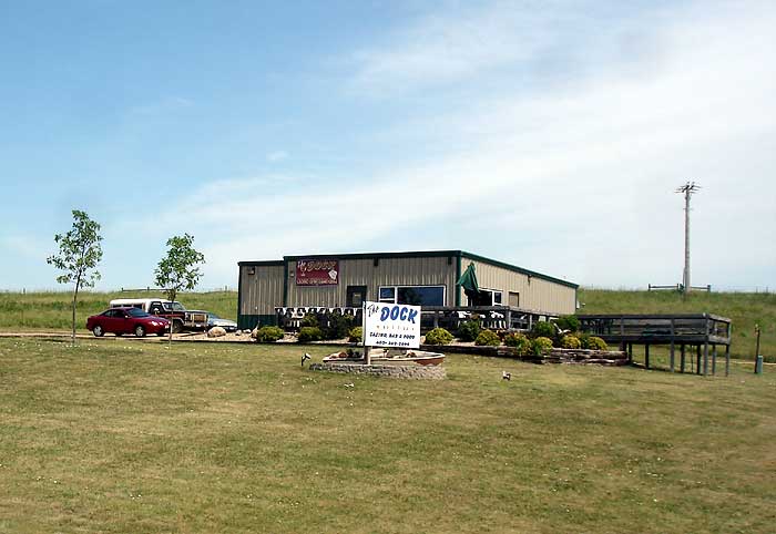
-Also see The Dock Restaurant on Hwy 37 south... The Dock Restaurant
-Ohiya Casino Highway sign.... Ohiya Casino Highway sign
-Approaching the Missouri River, Hwy 37 South.... Approaching the Missouri River, Hwy 37 South
-View of Chief Standing Bear Bridge and scenic overlook on the right... scenic overlook view... bridge
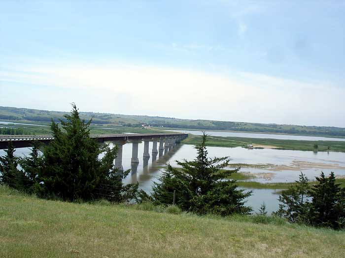
-Another view of Chief Standing Bear Bridge... Chief Standing Bear Bridge... another view looking south
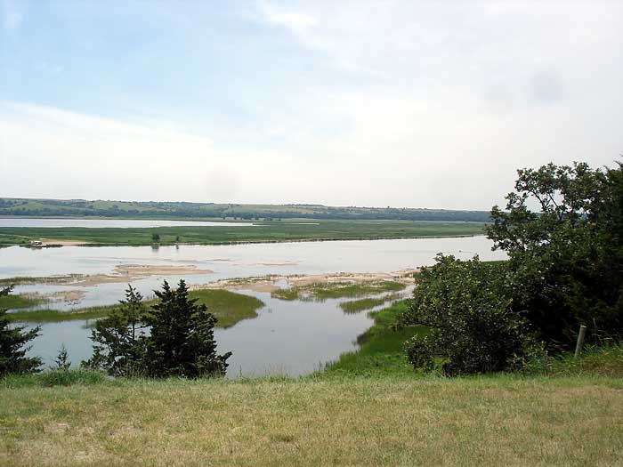
-Missouri River looking southwest toward Niobrara...
Missouri River looking southwest
-View of the scenic overlook... view of the scenic overlook... a full view from highway
-In Memory of Charles D. Alder... In Memory of Charles D. Alder
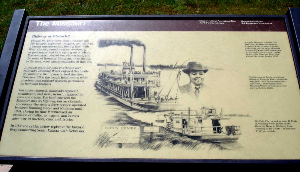
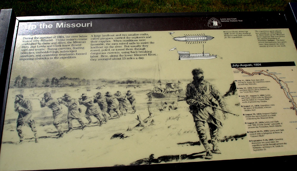
-Missouri River information board #1... Lewis and Clark expedition info board... Lewis and Clark expedition info board #2
-Missouri River Recreational sign...
Missouri National Recreational River sign... Missouri River sign
-View of the Missouri River from the bridge looking West...
Missouri River West
Continue Traveling into Nebraska