South Dakota Scenic Byway
Native American Scenic Byway
Monday Aug 13
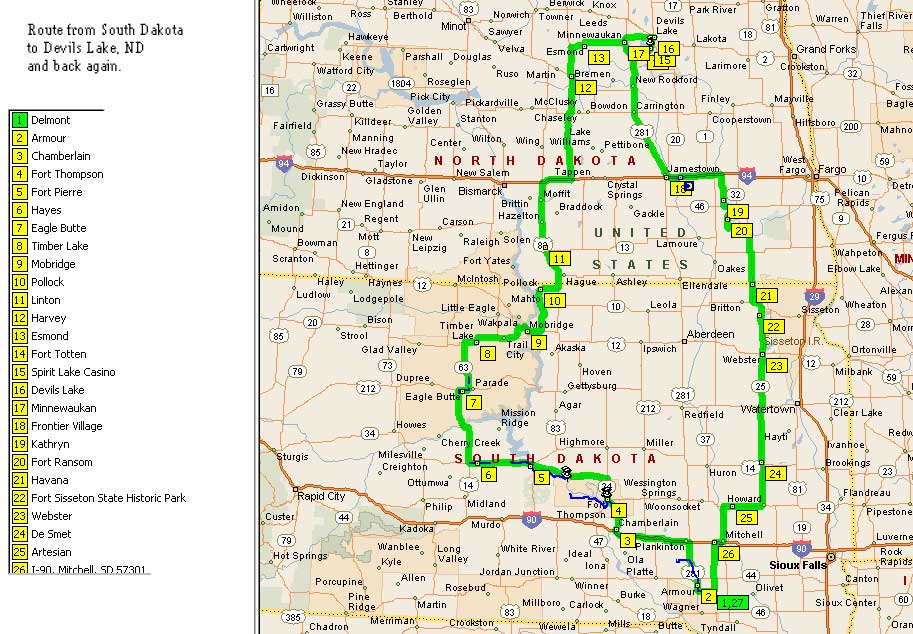
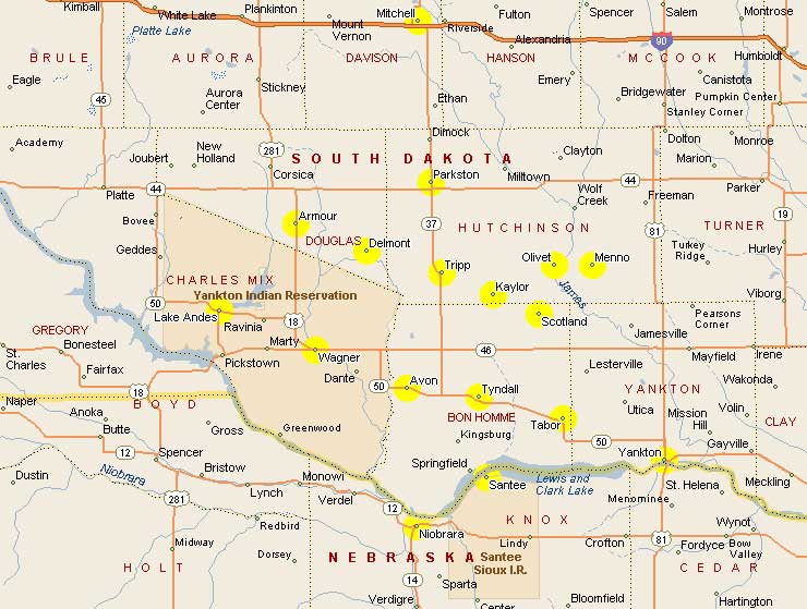
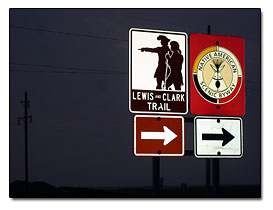 We joined Rich and Elle of TurtleIslandTravels for a trip to North Dakota. The plan is to travel the scenic byway, called the Lewis and Clark Trail, through the middle of South Dakota, that follows the Missouri River. Our destination is to reach Devil's Lake in Northeastern North Dakota. See a map of our route
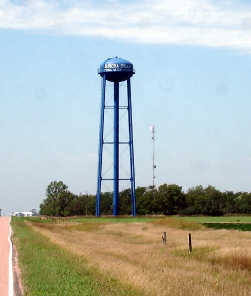
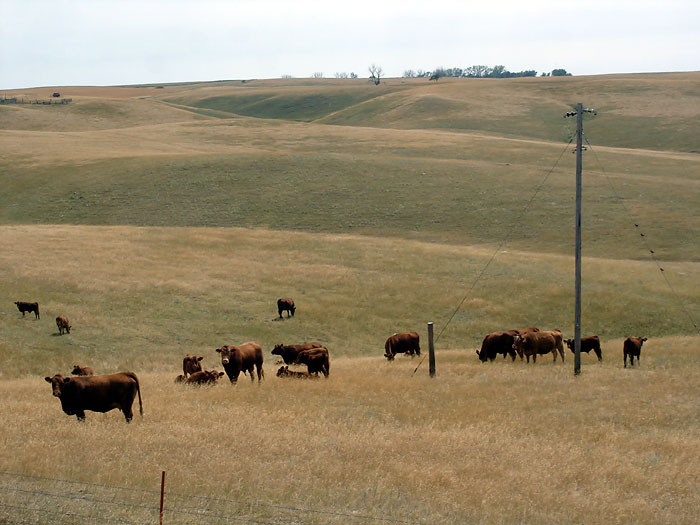
We packed early Monday morning and set off to travel the midsection of South Dakota. We left from Delmont SD, and headed west through Armour, SD. Traveling north out of Armour, Rich wound up taking some dirt roads for awhile, I think he was kind of lost, but it turned out okay, we got to see some views of round hay bales, huge square hay bales, cute cows, and other fun farm stuff. I also took a picture of the Aurora-Brule water tower.
Chamberlain, SD
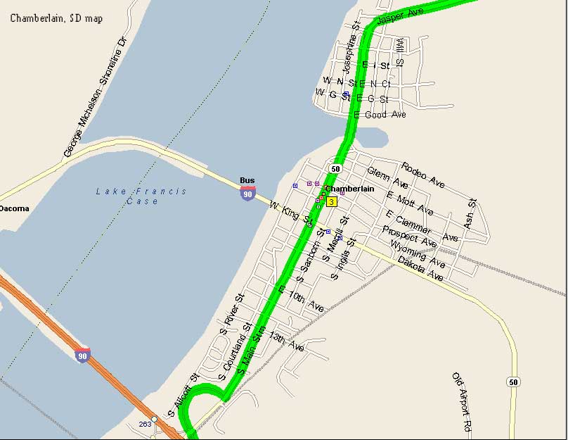
Off of Interstate 90 we took exit 263, and came into the town of Chamberlain. Chamberlain looked like a real nice city to stop, but we couldn't find any place to park the RV. So, we kept heading north, and came to Fort Thompson. See a map of Chamberlain, SD.
Fort Thompson
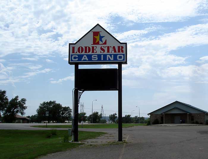
We stopped for lunch at the Lode Star Casino, which was pretty nice inside and the food was tasty, but they wouldn't let us take any pictures of the beautiful murals on the wall in the restaurant.
After eating we decided to try our luck at the slots, Vlad likes to play the 10 timer, and he lucked out by winning a whole pot of quarters, which added up to $68.50. So that was like getting a free lunch. Nice going Vlad. Here's a picture of the Lode Star Casino sign.
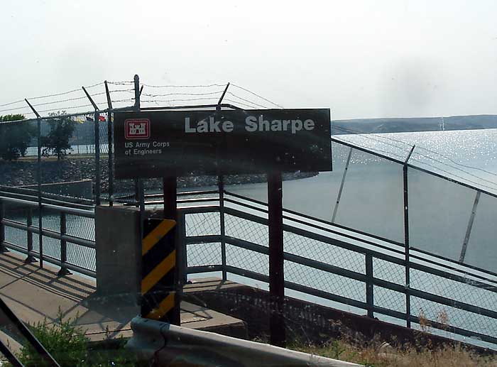
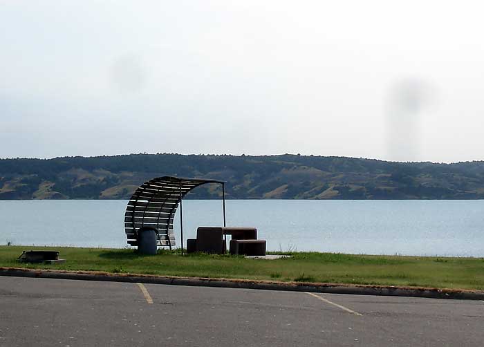
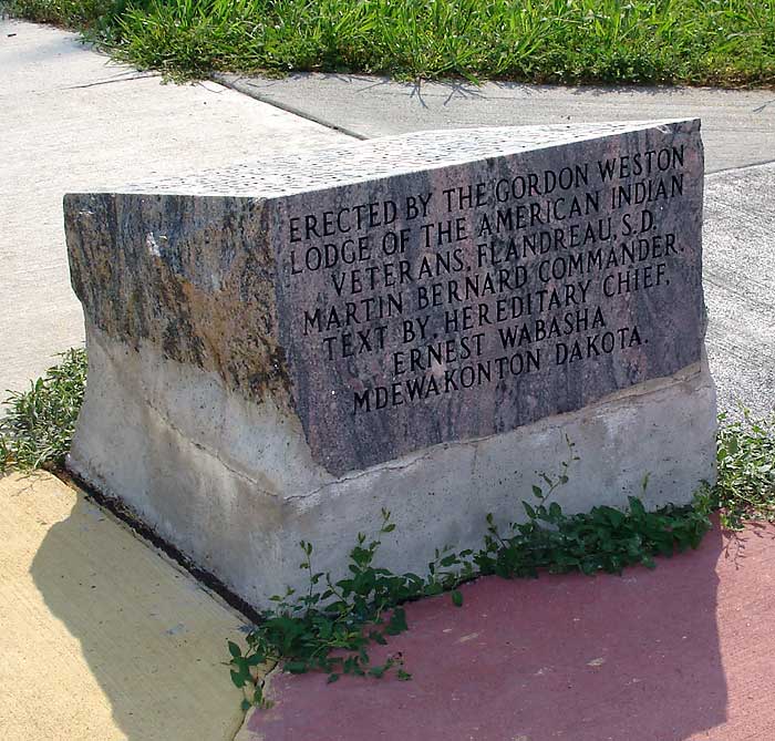
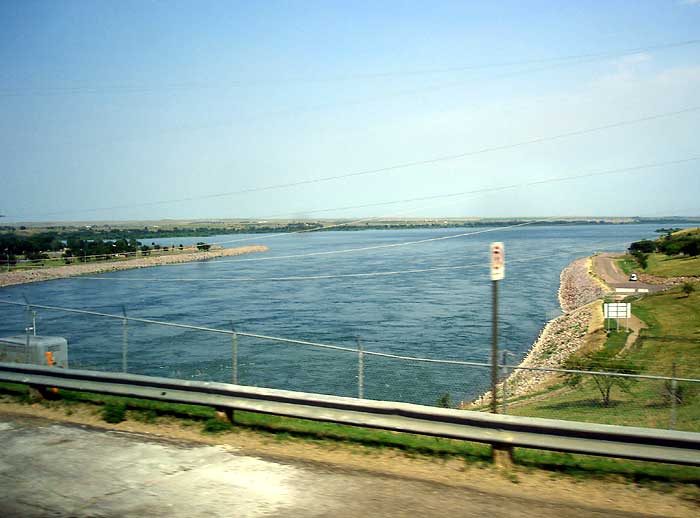
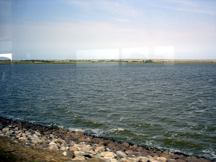
Lake Sharpe
We passed Old Fort Thompson Recreation Area and came to Lake Sharpe. Lake Sharpe was a surprise. It is just beautiful there. There is a dam, several picnic tables, and a small stone monument that says it was erected by the Gordon Weston Lodge, and on the top, in memory of the Dakota, whose lives were taken at Fort Thompson in 1863...Dakota Memorial. The North Shore Beach and Recreation Area. There were some people swimming there.
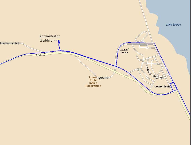
Lower Brule Sioux Tribe
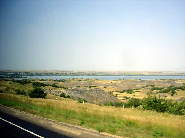
We turned down Lower Brule Road which runs right next to the Missouri River, and ran into some pretty scenic views of the river. Honestly, I didn't know the Missouri River is so wide. It seems it is wider than the Ohio River. Maybe it is because of the dams they built.
Following BIA10 north, we came to the Golden Buffalo Casino. No, we didn't stop at this casino, but continued traveling through. Then we came to the Lower Brule Sioux Tribe Administration building, it has some tepees in front. See map of Lower Brule
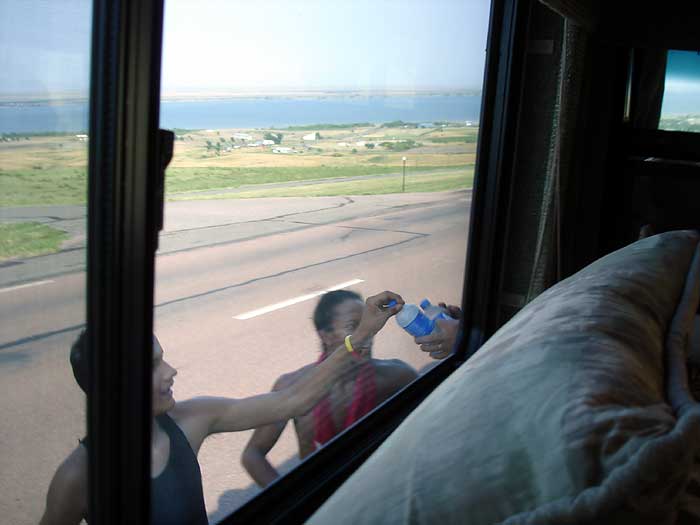
We turned around and headed out to the highway, and Rich decided to pass out bottles of water to some young Native Americans running down the road. It was hot out, and they accepted the water eagerly.
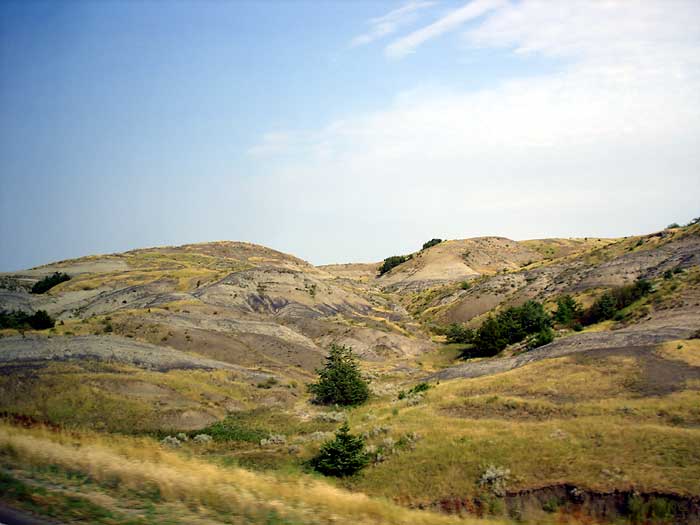
Getting back on BIA-10 we headed west passing the water tower, and the administration building again. I was wondering where this road was going to take us because according to the Streets and Trips, it leads back hwy 273, which goes back into Interstate 90. A very scenic drive, and hardly any trees. The hills look sandy. We took the loop around the town of Lower Brule.
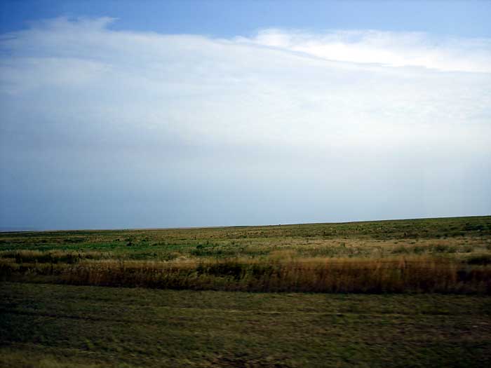
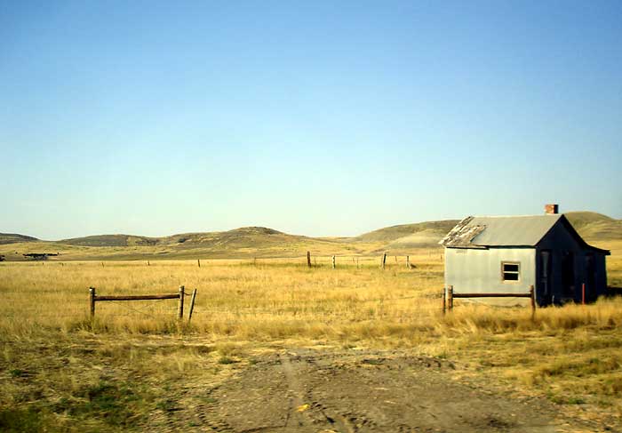
Once we passed Medicine Creek, the landscape really changed, with absolutely no trees in sight anywhere, for miles, and only an occasional shack. So we came to an intersection that said we were on highway 1806, so we didn't have to turn on 273 at all. The road we are on isn't even on the Streets and Trips map. So we are continuing heading north.
The amazing thing is that way out here on the reservation, Elle has a connection on her singular cellphone. Then we came to some acreage that was loaded with Prairie dogs. When we opened the door to take pictures, they ran into their holes and was chattering to each other.
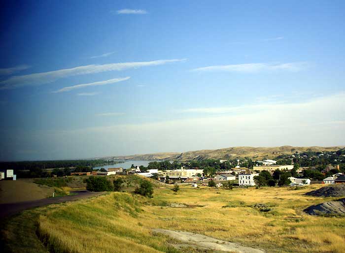
Fort Pierre and Pierre, SD
We passed Antelope Creek Recreation Area, and soon we will be heading into Fort Pierre, and Pierre, the capital of South Dakota. We stopped and got a huge strawberry milkshake for $3.50 at the Cool Spot Ice Cream Shop.
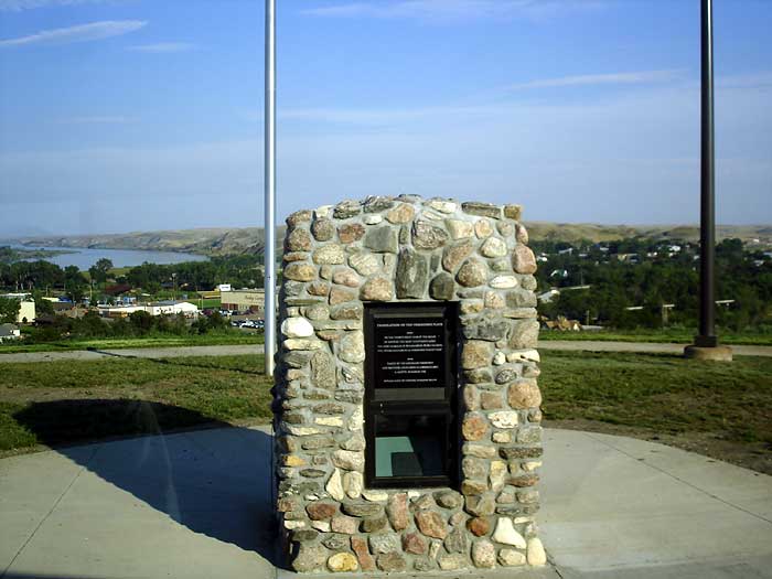
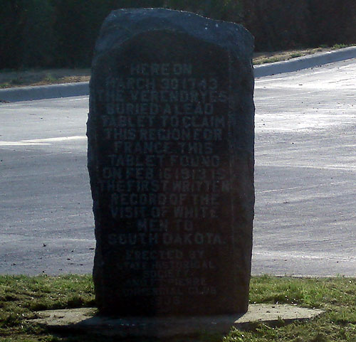
Then we drove up a hill to turn the RV around and found several monuments on top of the hill. One was commemorating the first proof of the white man in South Dakota. It is called the Verendrye Hill. We traveled back to First Ave, followed it to the Pierre Bridge, but made a left instead of going into Pierre.
Now we are on Hwy 14-34 heading north. toward Hayes. We passed the Lake Oahe Recreation area and dam. I sure wish we could have spent more time here checking it out.
Elle drove for awhile, and we saw some antelope, pheasant, and prairie chickens. We stopped for gas at the Cenex station in Eagle Butte. Unfortunately it's too dark to take pictures now. It's 9:30 pm and we are heading for Mobridge, SD.
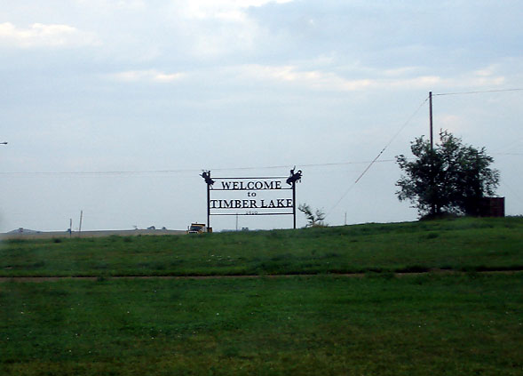
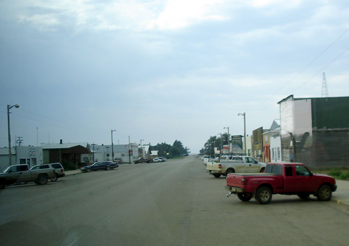
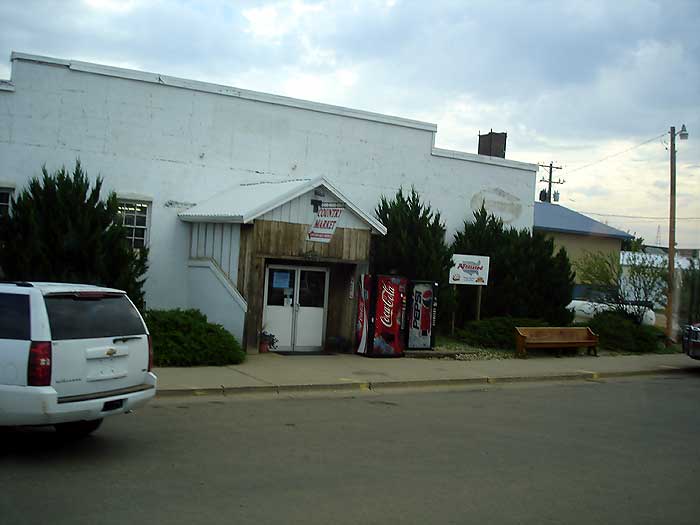
Timberlake, SD
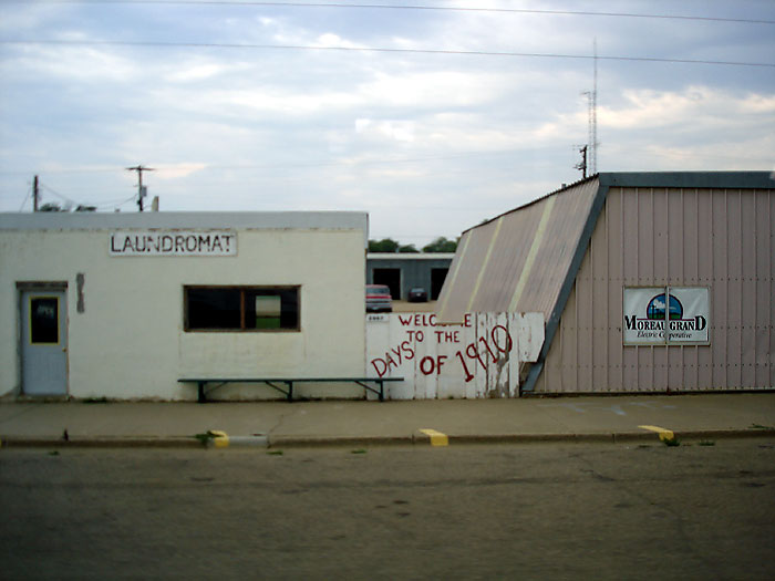
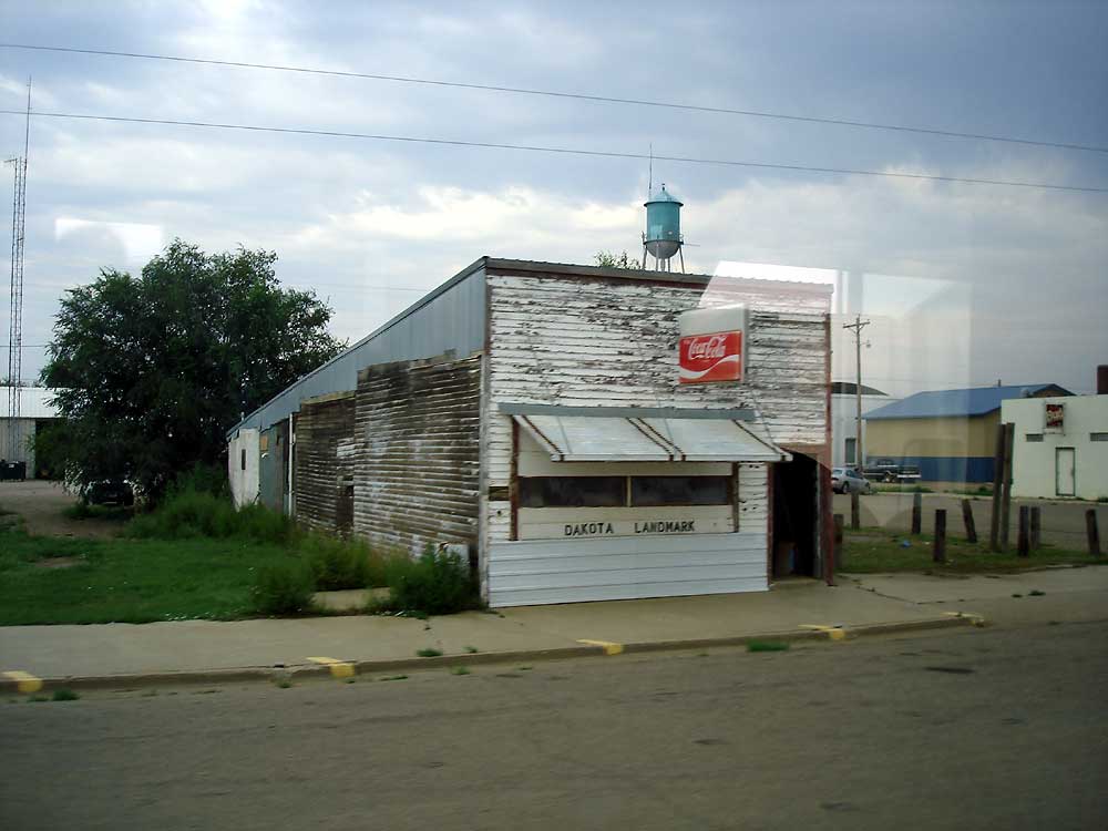
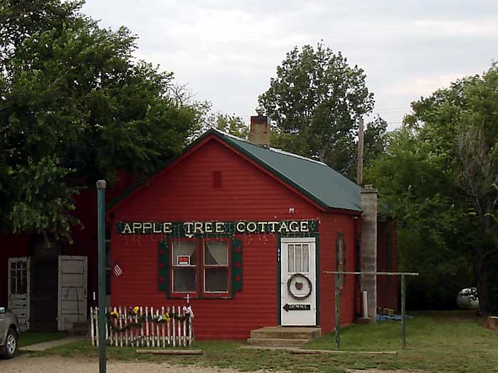
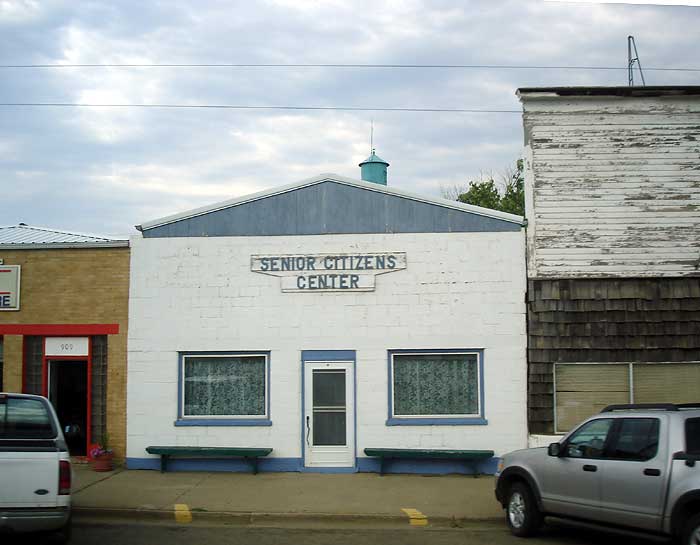
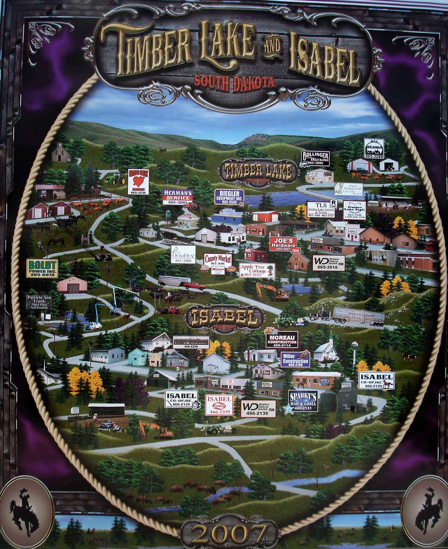
Once it got dark, the closest town to us was called "Timber Lake" We pulled into a park with a playground and slept for the night. In the morning we realized it was TimberLake City Park. We drove around this small town an was impressed with the layout, buildings and the friendly people. Apparently, we just missed the 1910 Days Festival and Rodeo. Here's the Timberlake Post Office, the Dakota Landmark, the Apple Tree Cottage, Prairie Rose, the Senior Center, and the Timberlake Market, but the restaurant was closed and is for sale, so breakfast had to wait. Timberlake map and businesses
Mobridge, SD
Leaving Timber Lake west on Hwy 20, we were heading to Mobridge, and saw a herd of buffalo to the north of the highway. We were so shocked, we didn't think to take a picture till it was too late, and there was nowhere to turn around.
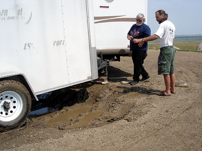
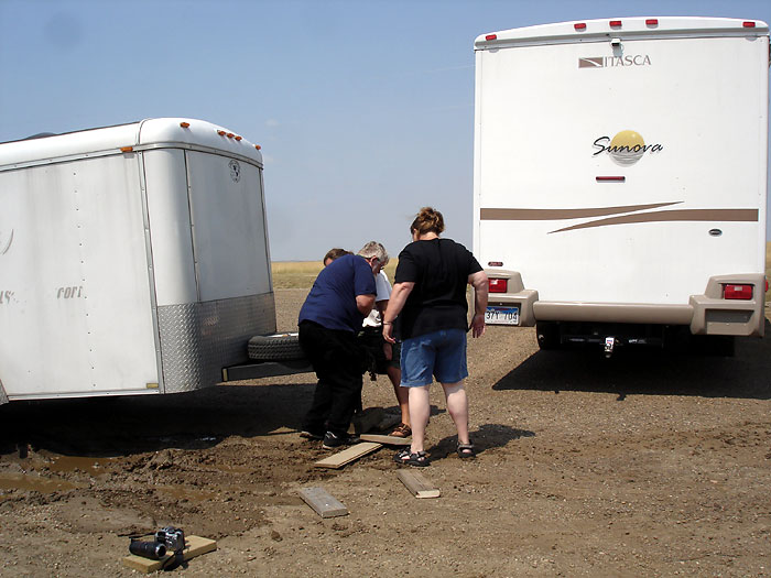
Getting nearer to Mobridge, we came across the Grand River Casino, pulled in, and had some breakfast in their restaurant. They wouldn't let us take pictures inside, but check out the benches out side their front door. Also see the tower that says, Standing Rock Sioux Tribe. We checked the trailer we were pulling behind the RV, and found out Vlad's motorcycle leaned over, and the windshield hit Rich's bike handle and cracked it. So they had to take everything out and fix the straps again.
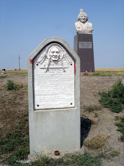
Sitting Bull and Sakakawea Monument
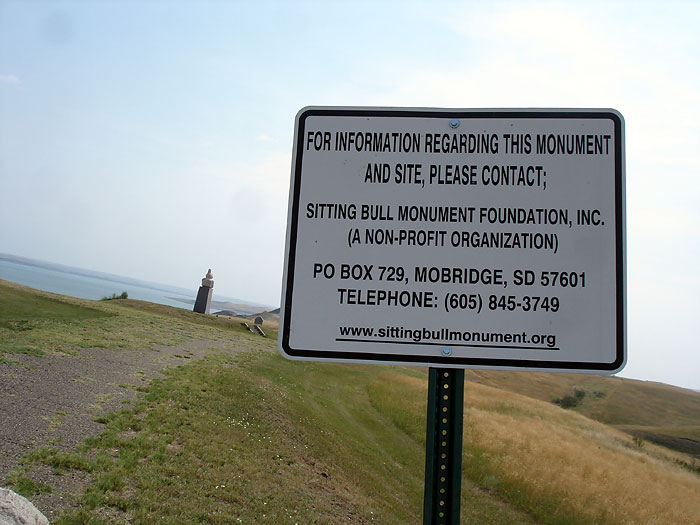
Once we left the Grand River casino we saw a sign with directions to the Sitting Bull monument. When we pulled into the circular drive there was a huge hole in the drive and the RV almost got stuck. We had to remove the trailer and turn it, after we pulled the RV around and backed up to the trailer. Rich said, "I will never forget Sitting Bull." Read a closeup of the Sitting Bull History and the information sign. Sitting Bull has a great view toward Mobridge.
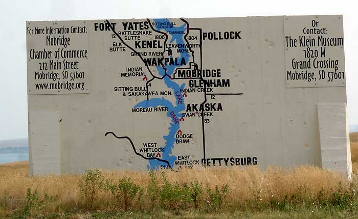
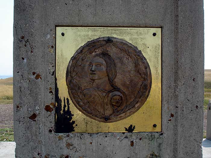
There is also another monument there called the Sakakawea Monument, and an information board where other monuments are located in the area. See a closeup of the Sakakawea Monument plaque and the history of Sakakawea.
We drove into Mobridge over the bridge, and what a view of the railroad bridge there is. Mobridge looks like a nice town and there are several motels here. After leaving Mobridge we passed some cows roaming on the yellow hills.
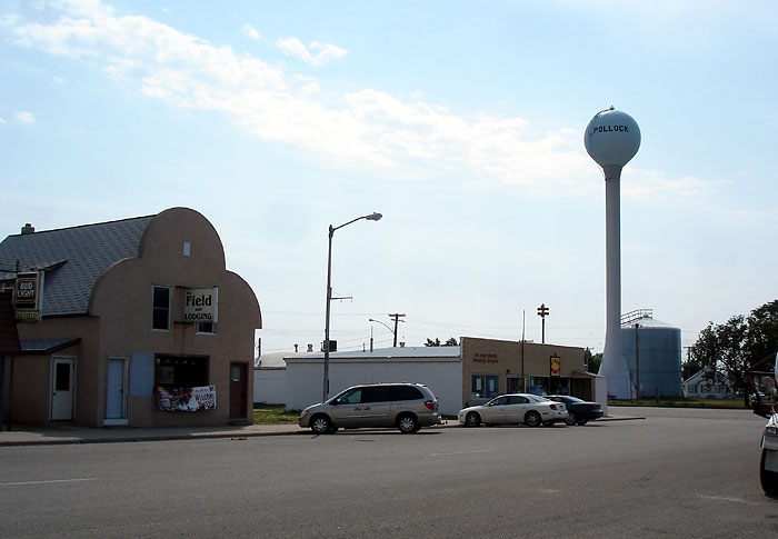
Pollock, SD
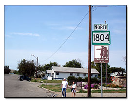 We are driving Hwy 1804 and came into a town called Pollock. Now we are about 2 miles from the North Dakota border. Pollock is a nice little town, and is not far from Lake Oahe. So we are going to continue driving north on 1804 so we can get some more scenic views.
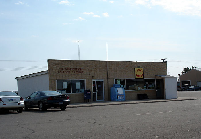
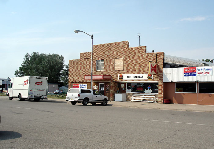
Here's a picture of Downtown Pollock, Pollock Post Office, the Sandbar restaurant, and of course, the Pollock water tower. There is a monument in town that explains when and how Pollock became a town.
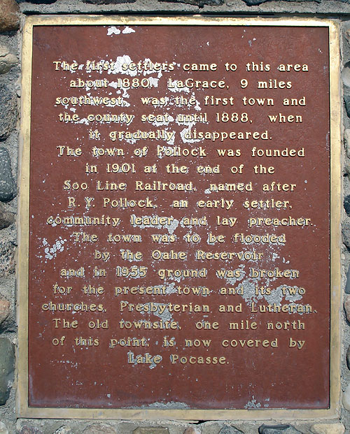
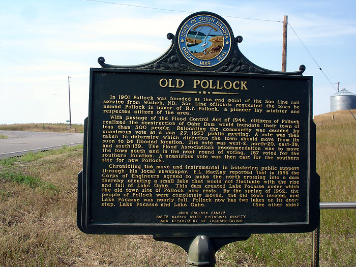
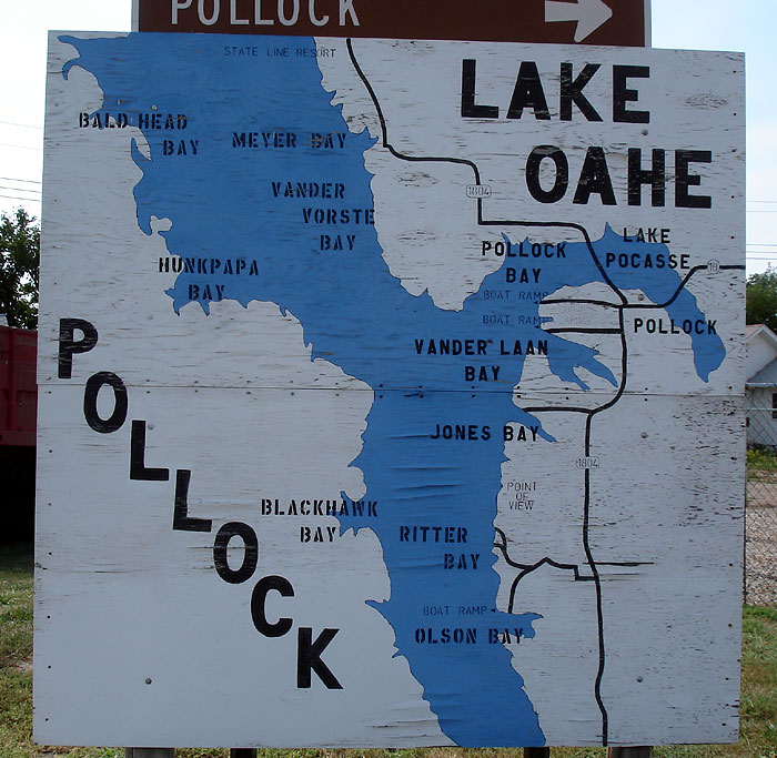
In back of the bell monument is a building with the first fire truck in it. Also notice that the gate and fencing is made out of horseshoes. Read the story of the town of Pollock when you cross a small bridge. Stop and read the Pollock Historical marker. Also see their Lake Oahe Map and a Pollock lodging mural. A picture of where Old Pollock is located.
Continue the roadtrip into North Dakota
Related Websites
Read more about the Lewis and Clark Trail